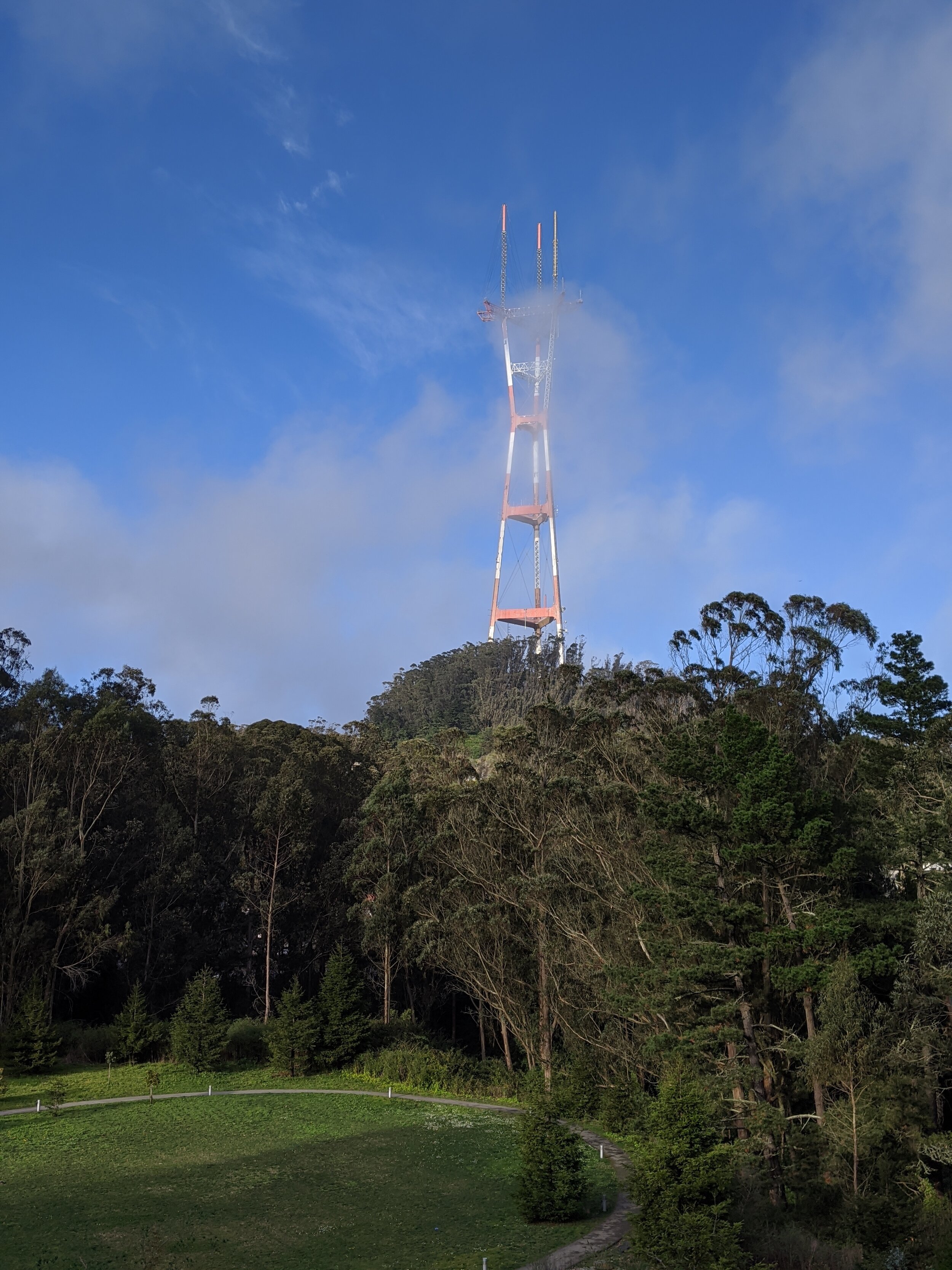
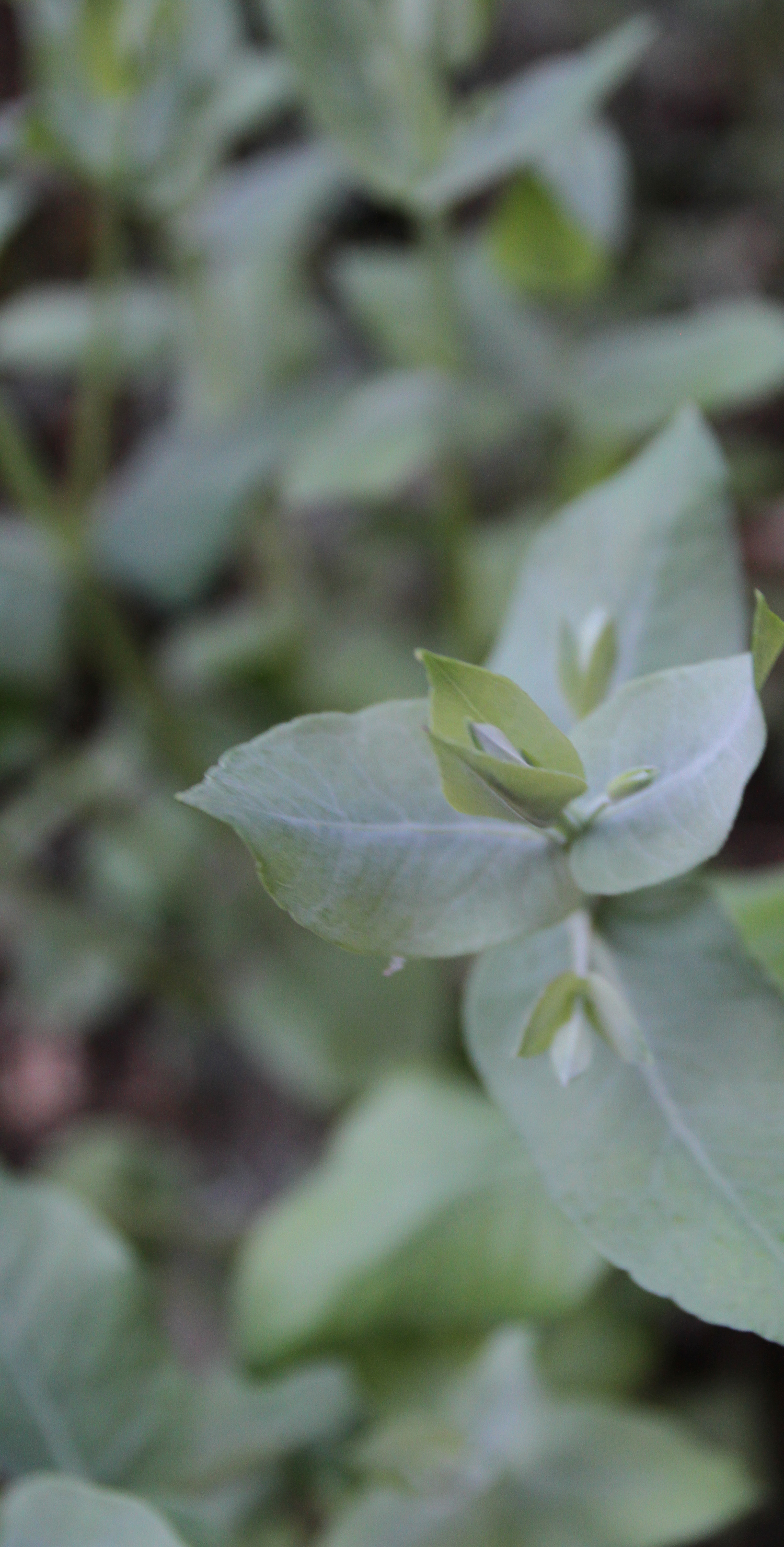
The Laguna Honda Community Trail System meanders through the woods and around Laguna Honda Hospital. The hike has some interesting sights, including a small canyon, eucalyptus trees, a water tower and petting zoo on the Laguna Honda Hospitals grounds.
Hiking Bolinas Ridge Trail at Mt. Tamalpais
The New Year would not be complete without a hike to beautiful Mt. Tamalpais. The air is brisk, the fog is clear, the sun is shining, and the trail is deserted. Leaving early gets you clear freeways, quiet serenity, and an abundance of wildlife. The trail begins with a steep drop, the wind is fierce and this early the trail is mostly in shade. The hike is an up and back 7-mile hike on Bolinas Ridge Trail and the hike starts where Willow Camp Fire Road crosses it. You can find a map on the parks.gov page.
As the trail levels off I can see the beautiful Pacific Ocean and in the distance Devils Teeth know as the Farallone Islands. Finally out of the shaded area I make my way to the rolling hills that face away from the ocean and in the distance a coyote sunning himself. Thoughts of wildlife losing their space make me sad as a view of the coyote gets closer, he seems playful and happy. I give him space to make his way towards the forested area on the left. I feel relaxed and lay down on the side of the trail soaking in the sun when I notice a tick resting on my pant leg and quickly jump up and continue on the trail through the rolling hills. Up ahead in the distance on the trail is another coyote, he looks intimidating and is a lot larger than the playful coyote I saw 15 minutes earlier. I stop looking and don’t engage in eye contact and walk slower so the coyote doesn’t feel threatened. The coyote finally makes his way to towards a hole in the ground off the trail and I continue on the trail. Check out the California Department of Fish and Wildlife website on Keeping Coyotes Wild.
The trail makes its way through some redwoods closer to the Recreational Area, the trail ends at the road this is the turning around point as you make your way back Hang Glider Site #3. In total the hike is approximately 7 miles, 3.5 in and back.


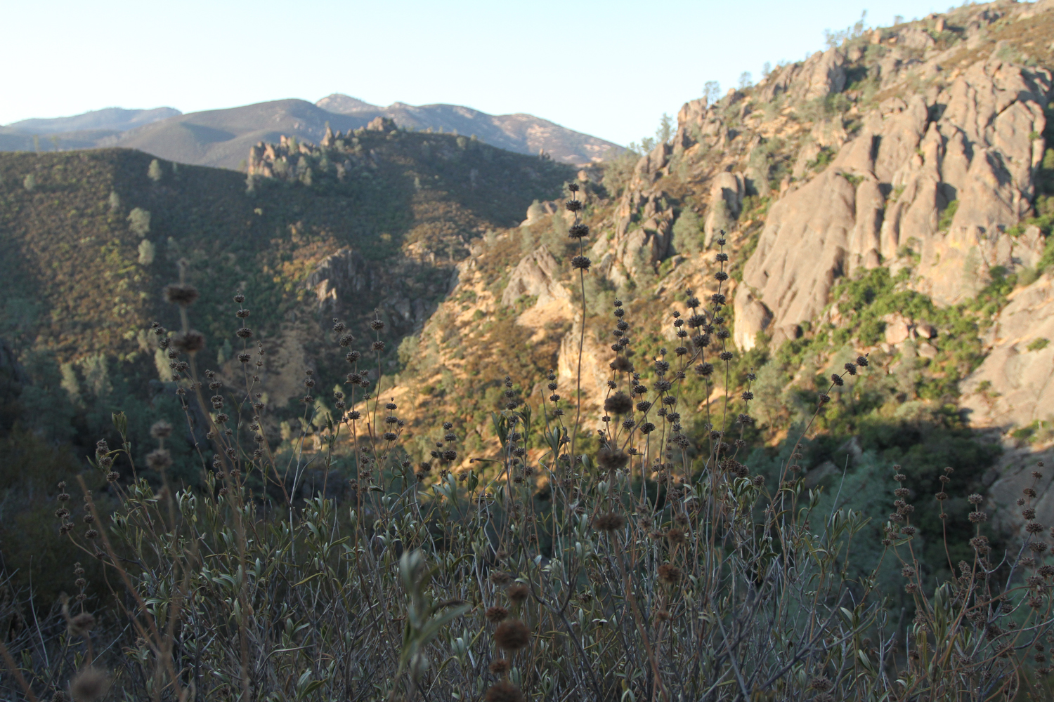
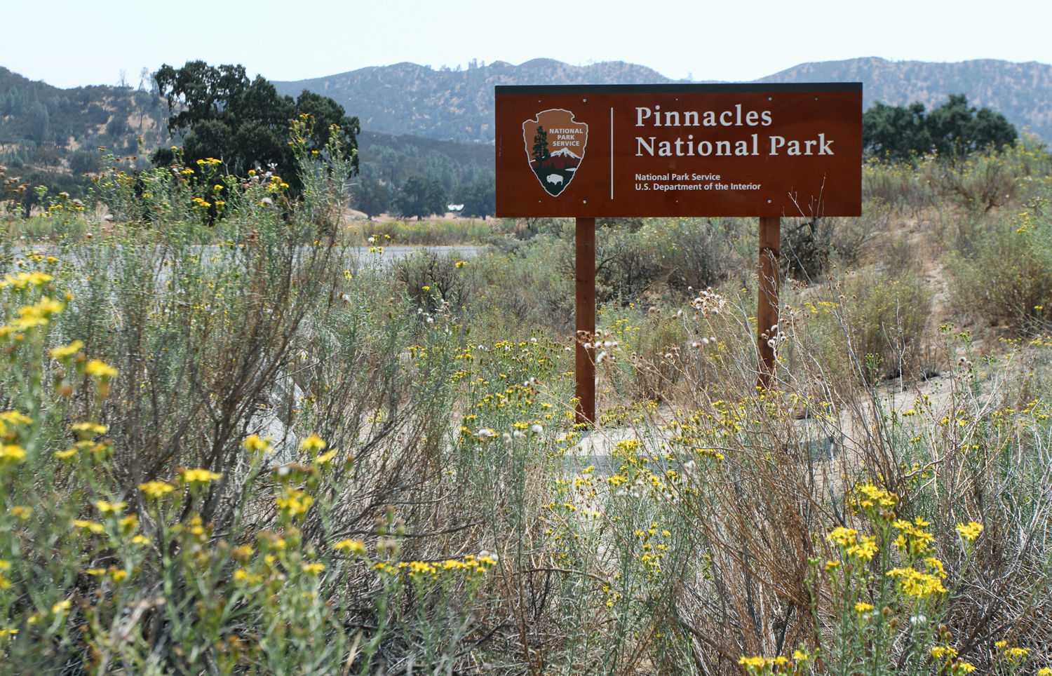
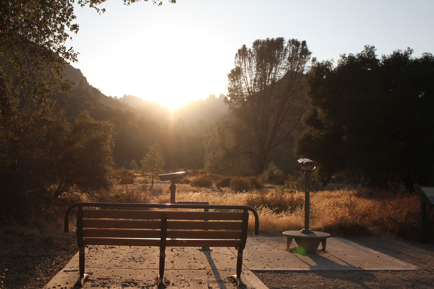
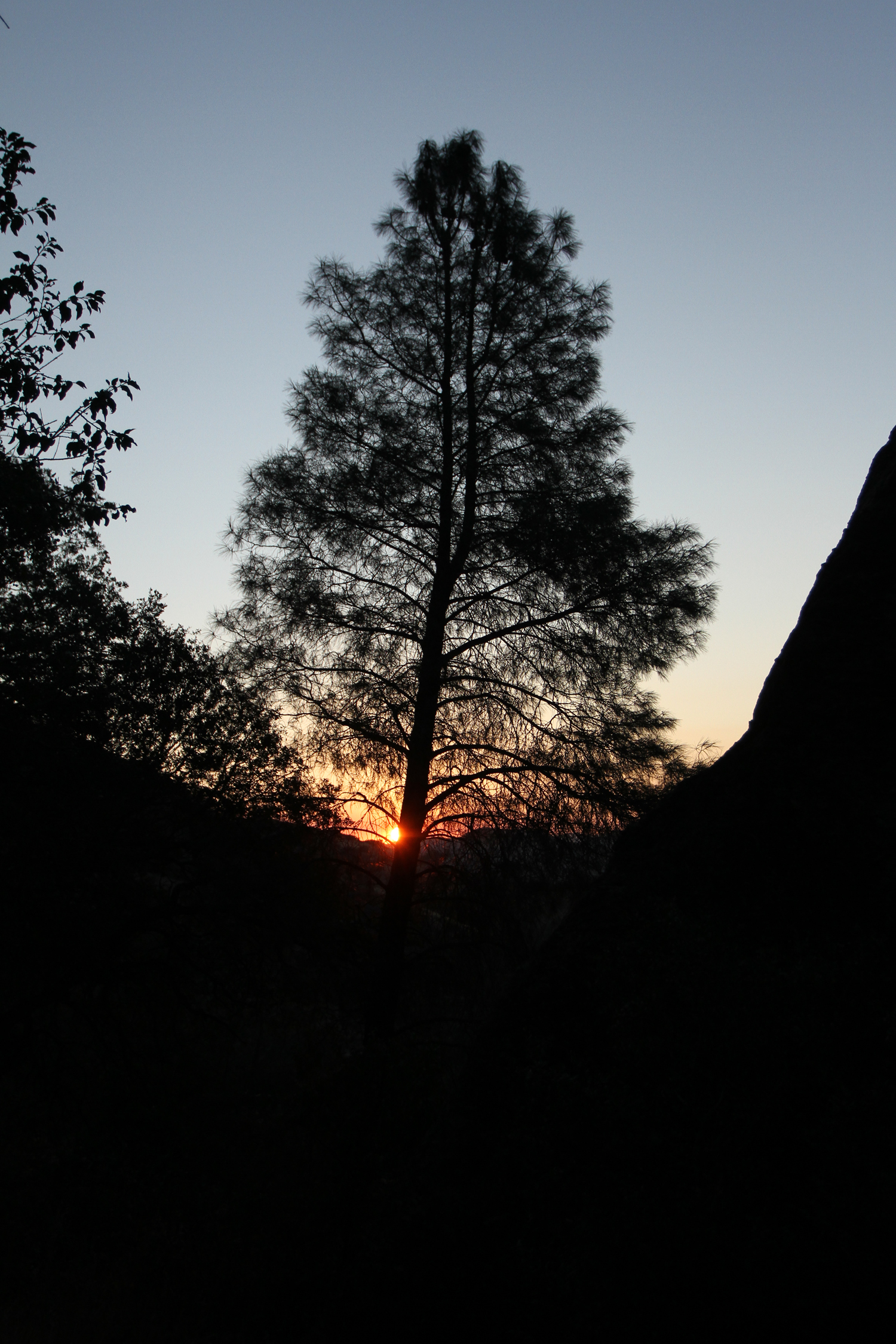
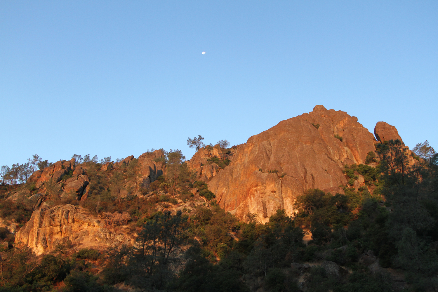

So Much to See and Do In Pinnacles National Park
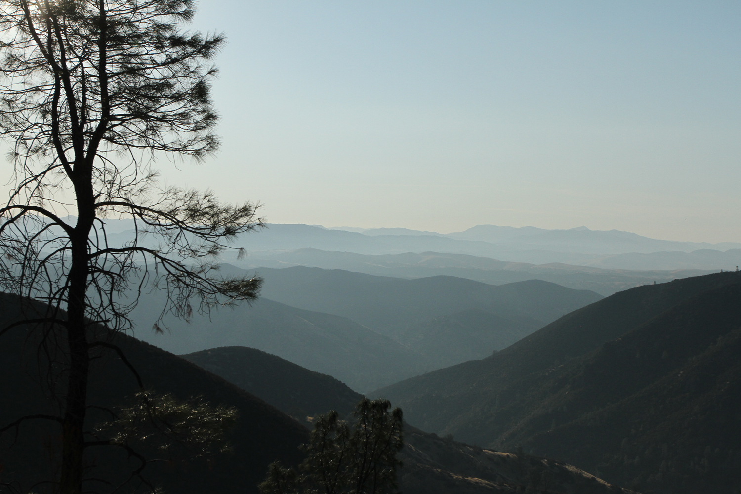
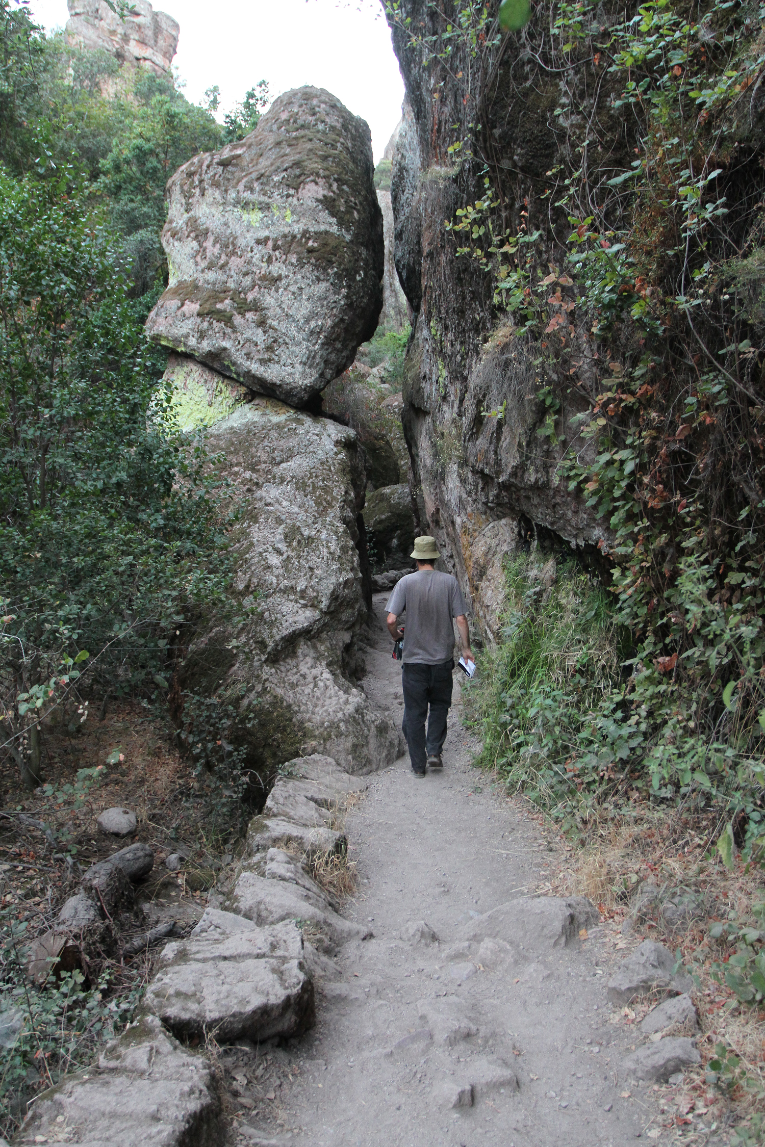
Established as a National Monument in 1908, In 2013 Obama signed into legislation and the park's name and specification was changed to Pinnacles National Park. This park is Southeast of San Jose and is the 9th unit of National Parks in the state of California.
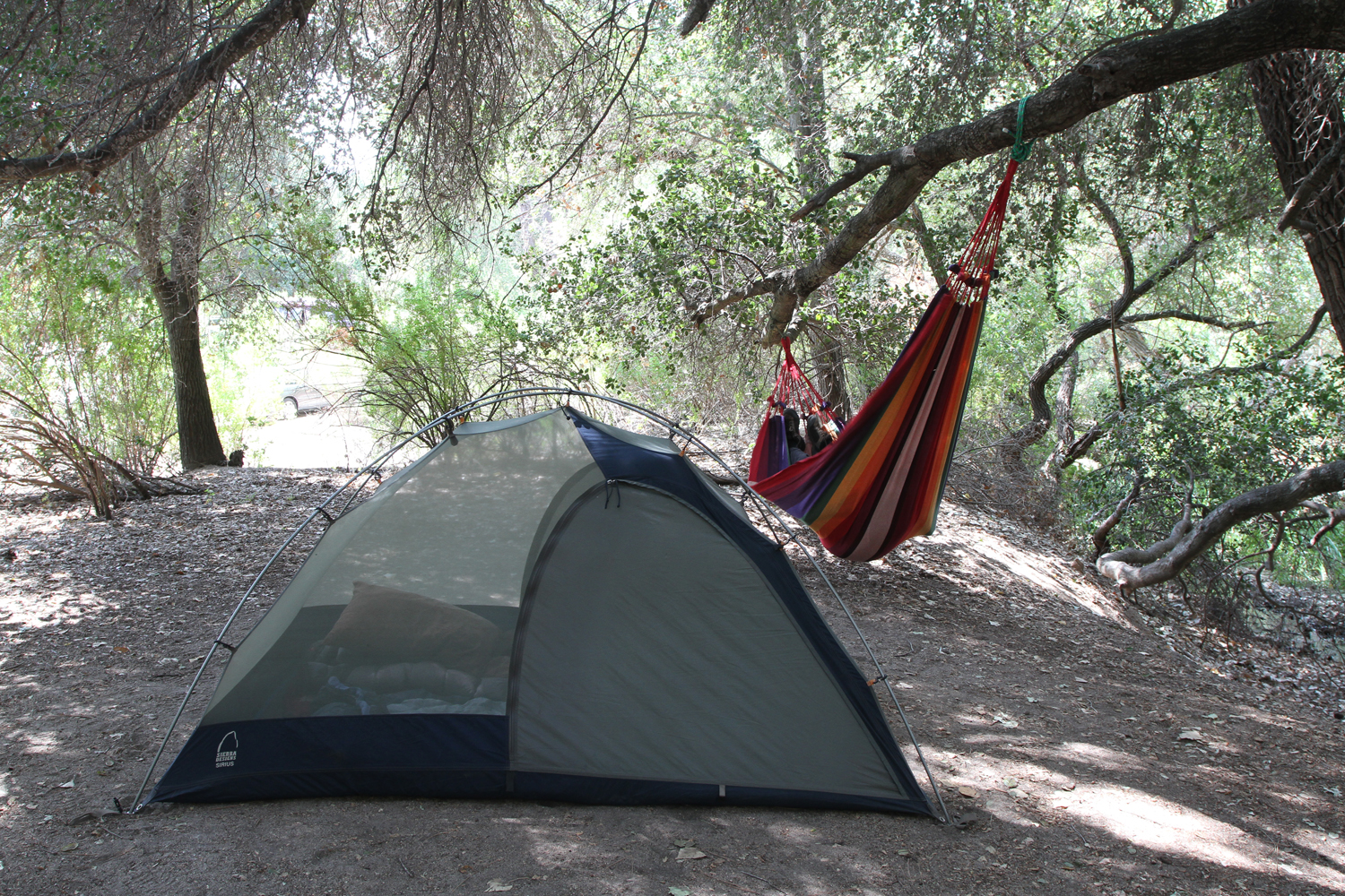
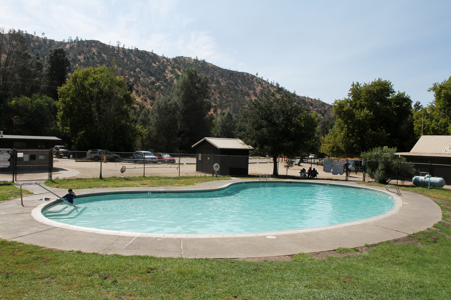
I really enjoyed camping here. I booked online for the perfect spot, some of the sites are in complete sunlight which can make it miserable if it's the season for sweltering heat. The website says July and August but I've been here in April and it was Hot! Check out this little beauty, it's a website that provides images of all the campsites at Pinnacles, that way you can be sure to get a site in the shade. To stay cool you can go for a swim at the park's pool, its free for campers.
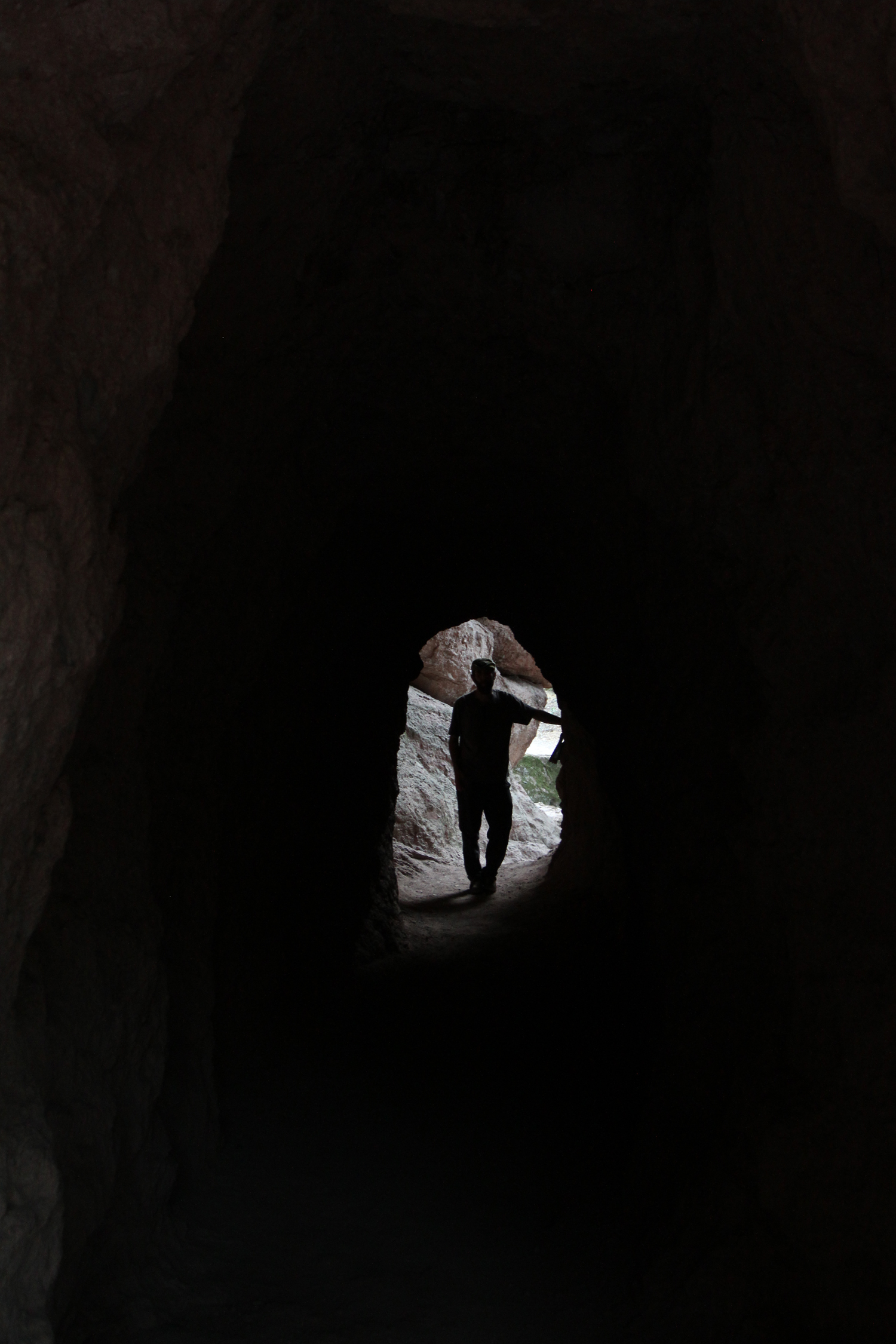
The park is host to wildlife which included bats, condors, deer, frogs, and Quail. Our early morning hike up to Condor Gulch Trail hike paid off, at about 7:00 AM on our way down the trail we saw about 15 Condors circling a rock formation. The flight of the Condor is like the flight of a kite, gliding on the wind and dropping in and out of air currents. The bat caves are yet another highlight of Pinnacles, around sunset we headed out to Bear Gulch Cave and made our way through the caves to the other side just in time to watch some bats exiting through the closed area of the caves.
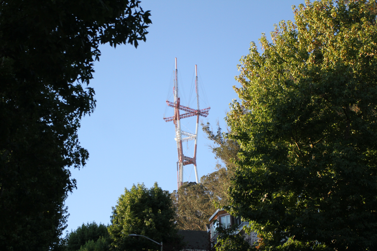
Forested Urban Hike in San Francisco
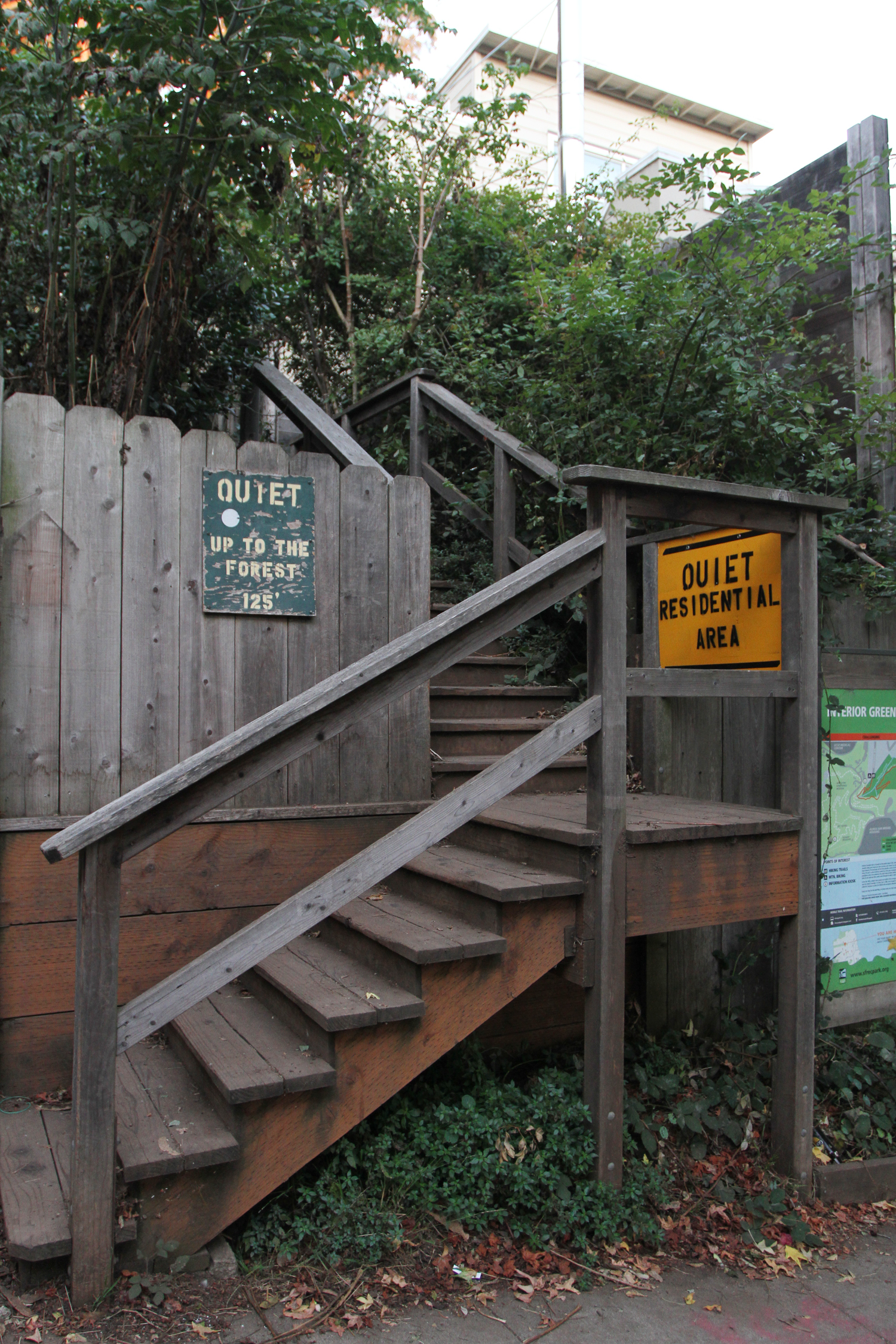
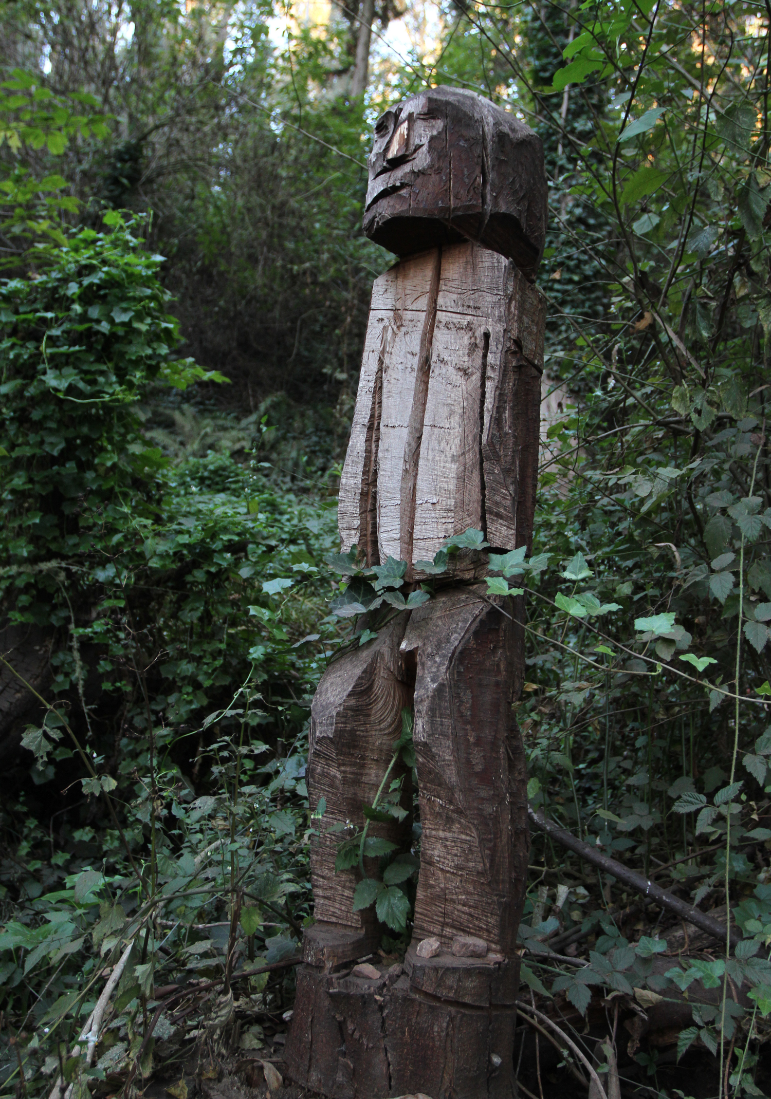
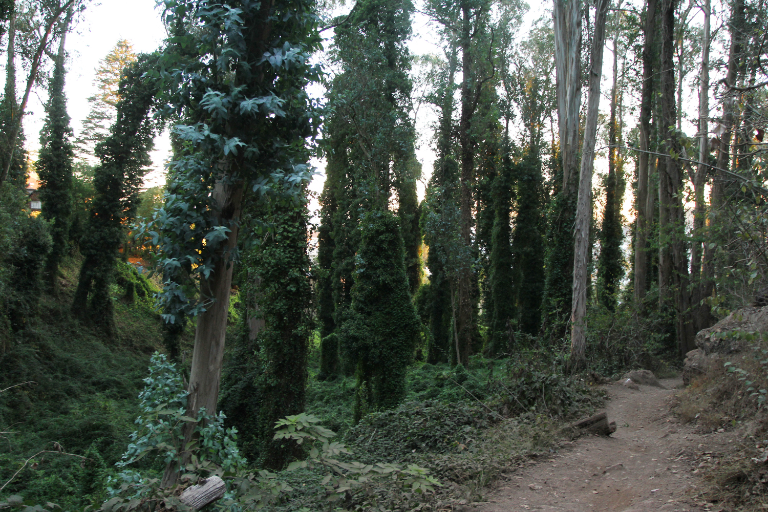
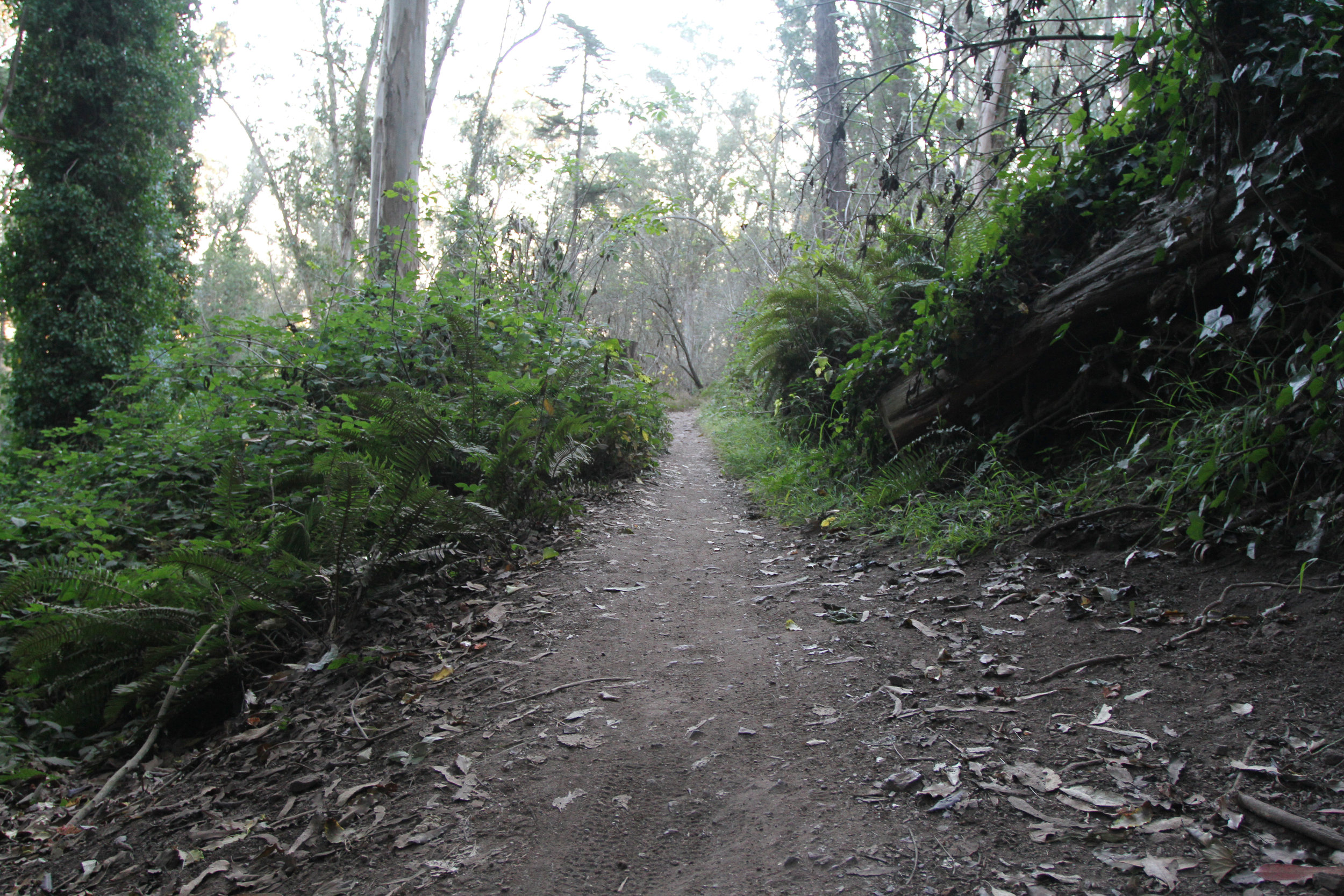
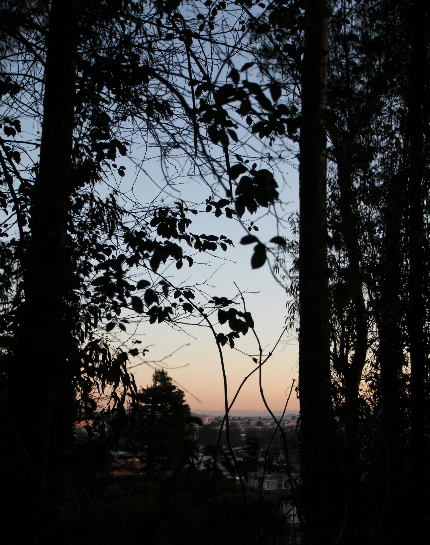
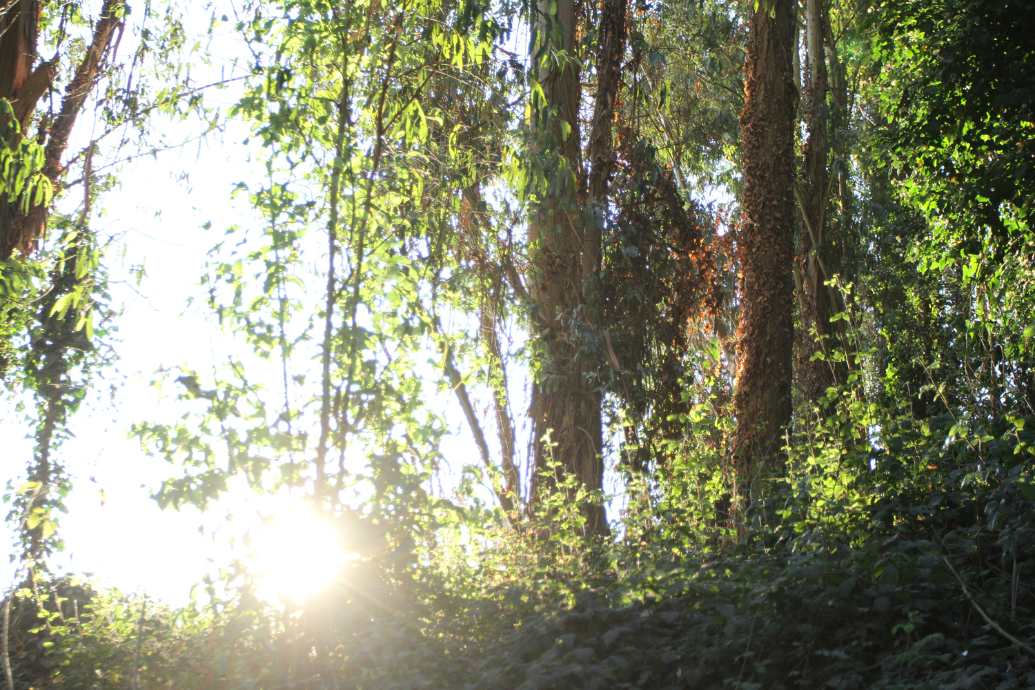
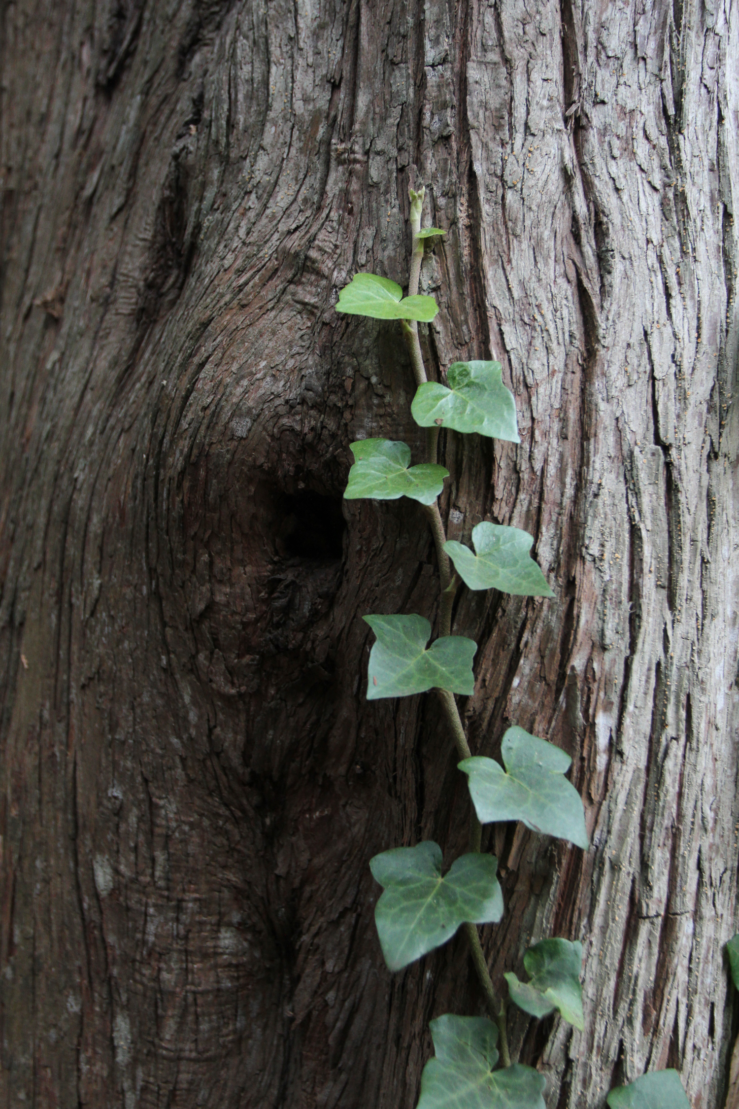
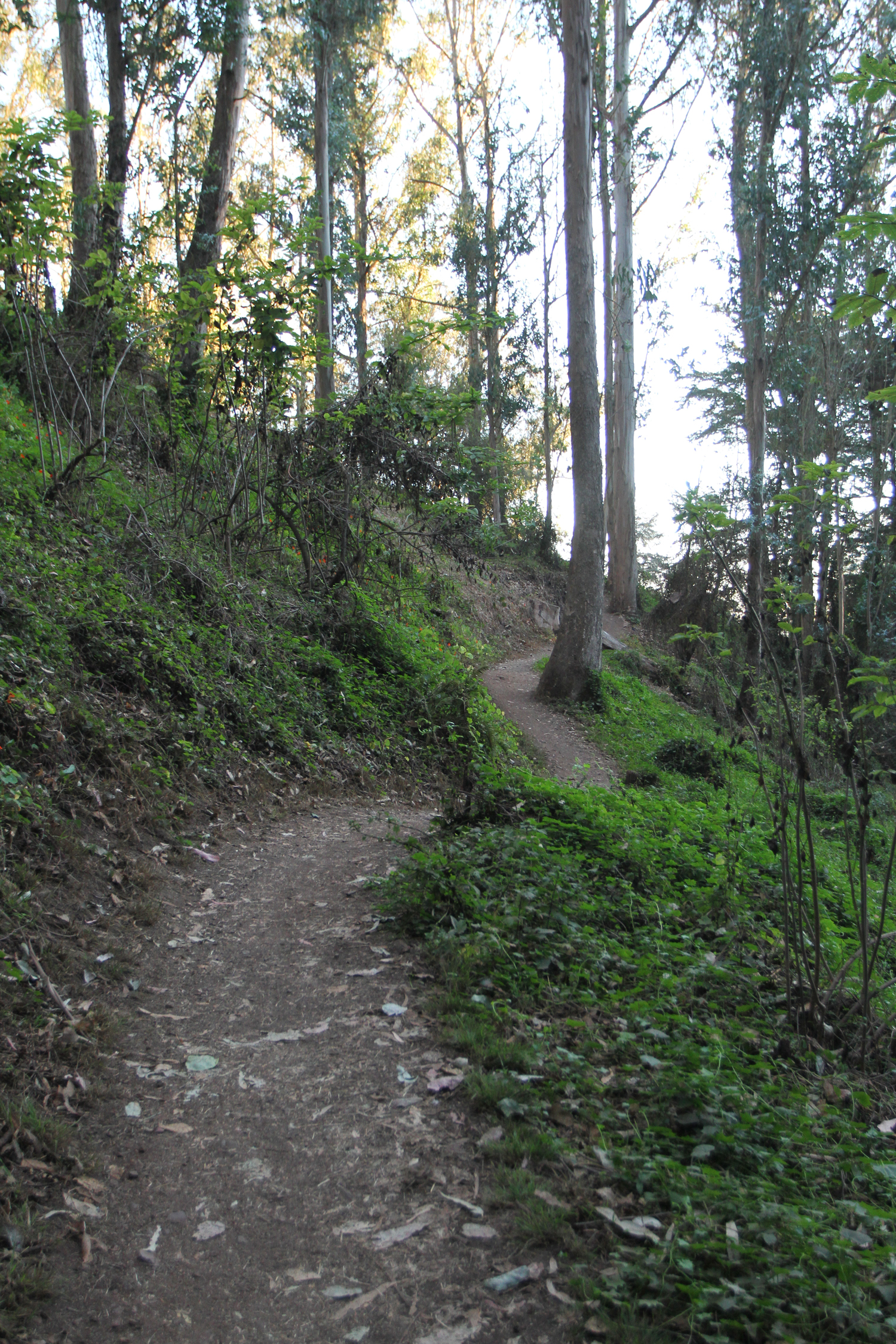
Nestled between two homes on Stanyan St. and 17th, as soon as you finish climbing the stairs Mt. Sutro's Historical Trail opens up to a lush dense forest complete with Eucalyptus trees, fern, flowers, wild blackberries, birds, and climbing vines. Located in the San Francisco Fog Belt, Mount Sutro is beautiful in all climates but very magical during overcast days. There are many ways to navigate through the woods each just as wonderful as the next. You can check out the map here to decide if you want to head back after the T junction or continue on. Be sure to look for the mysterious wood tiki carving of a man if you continue to the left of the T junction.
Historical Trail was named after a survey revealed a trail from the 1880's. The trails have been maintained by the Sutro Stewards since 2006, the group improves the trails through trail and habitat restoration.
Caving in Utah
If you are interested in cave exploring, Utah is a great place to visit. Utah is the host of over one hundred caves with names like Indian Burial, Lucifers Liar, Silly Putty (closed) and What the Hell Cave.
We visited Mammoth Cave Lava Tubes and Bowers Lava Tubes in Dixie National Forest. The caves were fairly large and impressive. Don’t forget your flashlight, it can get really dark and muddy in the caves. Please, please check out cave safety and ethics of caving before you go. The caves are closed off in the winter for hibernating bats.
To get to the caves you need to travel off the Forest Highway 050 onto a dusty dirt side road. As a truck passed us on the road, I can see a whirlwind of dust in my mirror.
Upon arriving at Bower Lava Tube we parked in the designated area and began our short quiet hike into the woods. In the middle of the landscape, you will find a hole in the ground where you will descend an 8-foot ladder. You can stand in the cave, but at about 100 feet you’ll need to crouch, look up and you will see a unique silver glitter residue on the ceiling.
Mammoth Cave Lava Tube area must have had some type of Mad Max event going on while we there. Upon arriving we were immediately assaulted with the sounds of buzzing motorbikes and off-road vehicle engines, riders decked out in full motor cross gear and dust holding thick like fog in the air. As we approach the mouth of the cave, it is congested with children and adults. Once climbing down into the cave the sound disappears and you are left with cave explorers, flashlights grazing the cave walls. The Mammoth Caves can become very small at some points where you might have to crawl and squeeze your way through, we went back after the crouching halfway. There are at least three ways to enter the cave and 2100 feet of exploration.
Berry Creek Falls Loop
Berry Creek Falls Loop is located inside Big Basin Redwood State Park, the entry fee into the park is $10. The hike is a 10.5-mile loop. At the beginning of the trail, there is a sign that warns that the hike is strenuous. With an elevation gain of 1800 feet, the hike takes 5 to 6 hours to complete. It rambles through deep forest, trickling water, bridges, redwoods, and several scenic waterfalls. Check on the park's website before going the trail is not always open.
Wintery Hike in the Rolling Hills of Oakland
A moderate 8-mile round trip hike through the redwoods at Redwoods Regional Park in Oakland, CA.
Read MoreMoody Blue: 360 Views of San Francisco and the Bay
Bog Trail to Saddle Trail is a moderate 2.8 mile loop hike.
Read More